This is the bottom-most reach of the Gila between Coolidge Dam and the Ashurst-Hayden diversion.
From Cochran, it is 8 river miles to the Ashurst-Hayden diversion. The current is steady with no pools (we ran it at 400cfs and were off the water in 2.5hrs). There are no rapids to speak of nor does it appear any would form at higher flows. We encountered countless sweepers but none that posed any hazzard. On several occasions the river split into multiple channels but most of the time it was possible to see all the way through to where they confluenced. There were no river wide strainers (at least not in the channels we chose). There is 1 barbed wire fence across the rivere immediately after the railroad tressle bridge (3.25 miles downstream of Cochran). It is possible to get around it by hugging the bank on river left. Bonus points to anybody who gets it out of there. Treat this as a wilderness run and carry a folding saw should any trees fall. Except for a very small number of spots, the banks are completely overgrown and exiting would be extremely challenging.
Any time we checked the depth it always seemed to stay around 3 to 4 feet. This could definitely go at lower flows. Higher flows would only shorten the trip. Really high flows could turn otherwise casual branches and sweepers into serious hazzards.
This run is quick with nice desert views. The 30 mile shuttle from Whitlow Ranch Road around to Cochran Road may not be worth it to some for the length of the run. Putting in at Kelvin may make it more worthwhile.
Alternatively, it is possilble to park on the North side off of Price Station Road and hike to the put in opposite Cochran as we did with our packrafts. The first 3 miles of Price Station Rd go quick. The next 1 mile is very overgrown and could use some work (we were racing the heat so did not spend the time to do any maintenance). From the end of Price Station Rd, it becomes necessary to cross the train tracks. DO NOT WALK ON THE TRACKS. The no tresspassing signs in this area are in reference to the railroad. There is a faint game trail the leads North up a gully and over a saddle. Continuing down into the next drainage and up over the next ridge drops you back down towards the river to regain a very well traveled dirt road. This road takes you through Coke Ovens and eventually down to the river crossing at Cochran. Be concious of private property. Although there were no signs across the road, there are several nailed to trees parallel to the road. There are also numerous bulls in the area. Most avoided us. 2 did not. Employing Alaskan Guide training and "being bigger than the bear (bull)", we eventually worked our way past.
For those interested, here is a Dropbox link to a Google Earth file. https://www.dropbox.com/s/fi57y016tnlhkee/Cochran%20to%20AshurstHayden.kmz?dl=0
| Ryan | |
| Class | I |
| Current Flow |
418.0 CFS 05-20-2024 02:30 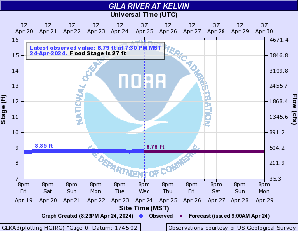
View River Forecast |
| Recommended Flow |
Minimum: 300.0 Average: 400.0 Maximum: |
| Typical Season |
Begins: April Ends: September |
| Recommended Use |
Kayaking: Yes Rafting: No Canoeing: Yes SUP: No Packrafting: No Fishing: No |
| Primary Gauge | GILA RIVER AT KELVIN, AZ. |
| Length | 8.0 Mile(s) |
| Gradient | 9.0 FPM |